Monte Altissimo – Rif. Graziani
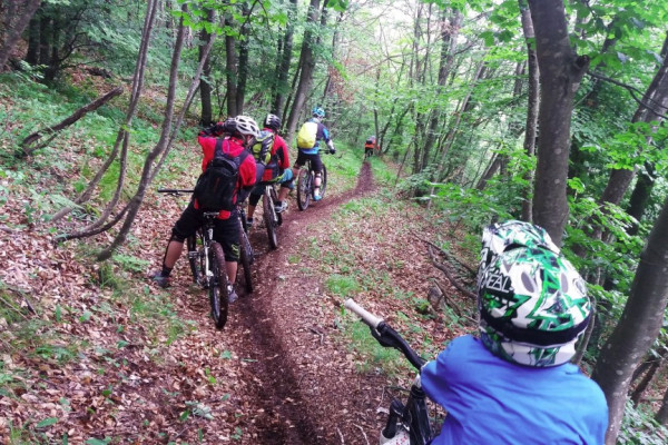
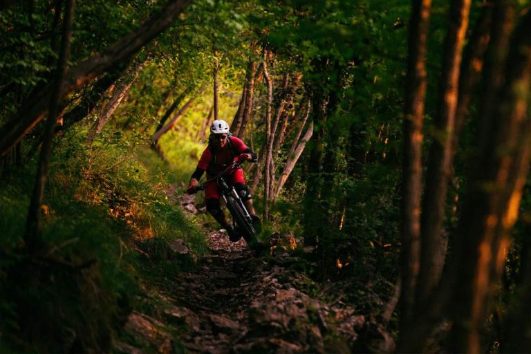
The best view is visible on the highest mountain in this region, called Altissimo, which is reaching 2059 m a.s.l. To see the horizon from Monte Altissimo is needed to continue the trail from the Rif.Graziani to Rif. Damiano Chiesa, rideable or walkable in one hour. Once reached the top there are two main trails option, one known as trail 601, one of the most famous downhill surfaces in Europe, wild and steep.
A second option called trail 650 is connecting you with trail 622, which is the suggestion to all cross-country and all-mountain riders. One more option is the Coast to Coast trail, starting from Rig. Graziani, taking trail 622 from the origin and crossing Malga Campo and then Malga Campei. At this specific point, you can opt to cycle back through Festa, Brentonico, easier with solid terrain or to continue to ride to meet Prati di Nago, just before Torbole.
Connections to other destinations
- Bocca di Navene;
- Red Tour;
- Altopiano di Brentonico;
- Coast to Coast;
- Monte Baldo
- Malga Campei
Secondary stops
- Mor: (supermarket Eurospin)
- Brentonico: (APT Villagarina e Rovereto)